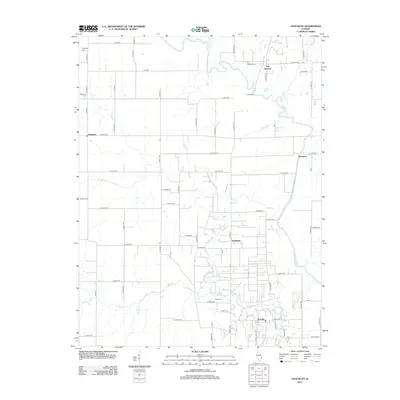
2012 Map of Chauncey
USGS Topo · Published 2012About this map
The Embarrass River winds through this rural landscape, defining the character of eastern Illinois just as it did when Port Jackson and Westport first emerged along its banks. The terrain is a complex network of waterways and drainage features, including The Slough and multiple tributaries like Muddy Cr and Eagle Br. Local history is deeply etched into the land through family-named landmarks and resting places such as Waggoner Cem and Keplinger Cem. The map reveals a transition between established agricultural grids and the river's meandering course, which once necessitated crossings like Smith Ford. Small settlements like Chauncey and Petrolia anchor the road system, serving as points of reference for the surrounding farmsteads and rural properties.
Find a feature on this map
75 named features on this map. Tap any name to fly to it.
Don’t see what you’re looking for? This feature index may not catch every label — zoom into the map to look around manually.
Map Details
Editions of this 2012 Chauncey Map
This is the sole edition of this map. No revisions or reprints were ever made.
Other maps of this area

1910 · Hardinville
USGS Topo · 1:62,500

1911 · Sumner
USGS Topo · 1:62,500

1913 · Sumner
USGS Topo · 1:62,500

1915 · Vincennes
USGS Topo · 1:62,500

1917 · Birds
USGS Topo · 1:62,500

1942 · Birds
USGS Topo · 1:62,500

1944 · Vincennes
USGS Topo · 1:62,500

1956 · Vincennes
USGS Topo · 1:250,000

1957 · Vincennes
USGS Topo · 1:250,000

1958 · Vincennes
USGS Topo · 1:250,000