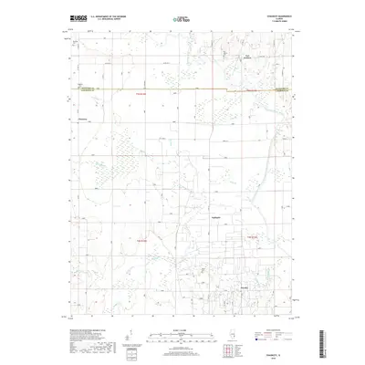
2018 Map of Chauncey
USGS Topo · Published 2018About this map
The Embarras River system dominates this landscape at the border of Crawford and Lawrence counties, where agricultural fields are intersected by a complex network of drainage channels and wetlands. Small settlements like Chauncey, Port Jackson, and Applegate serve as local anchors, while the presence of Oil Roads in the southern portion near Petrolia highlights the region's historical and ongoing connection to local energy production. Genealogists can locate several burial grounds preserved across the townships, including Keplinger Cem, Waggoner Cem, and Bluffs Cem. The hydrology is particularly intricate here, defined by named waterways such as Eagle Br, Crow Br, and a long natural feature simply labeled The Slough, all reflecting the efforts to manage the wet lowlands of the Illinois interior.
Find a feature on this map
35 named features on this map. Tap any name to fly to it.
Don’t see what you’re looking for? This feature index may not catch every label — zoom into the map to look around manually.
Map Details
Editions of this 2018 Chauncey Map
This is the sole edition of this map. No revisions or reprints were ever made.
Other maps of this area

1910 · Hardinville
USGS Topo · 1:62,500

1911 · Sumner
USGS Topo · 1:62,500

1913 · Sumner
USGS Topo · 1:62,500

1915 · Vincennes
USGS Topo · 1:62,500

1917 · Birds
USGS Topo · 1:62,500

1942 · Birds
USGS Topo · 1:62,500

1944 · Vincennes
USGS Topo · 1:62,500

1956 · Vincennes
USGS Topo · 1:250,000

1957 · Vincennes
USGS Topo · 1:250,000

1958 · Vincennes
USGS Topo · 1:250,000