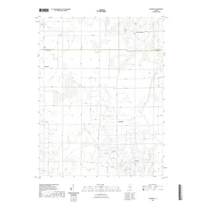
2021 Map of Chauncey
USGS Topo · Published 2021About this map
Port Jackson and the surrounding borderlands of Crawford and Lawrence counties are defined by a grid of rural infrastructure and low-lying drainage basins. The landscape is primarily shaped by the winding courses of Honey Creek and Muddy Creek, which feed into complex wetland areas such as The Slough and Crow Branch. This 2021 survey reveals a quiet agricultural and industrial character, where small clusters like Chauncey and Applegate serve as local anchors.
Find a feature on this map
29 named features on this map. Tap any name to fly to it.
Don’t see what you’re looking for? This feature index may not catch every label — zoom into the map to look around manually.
Map Details
Editions of this 2021 Chauncey Map
This is the sole edition of this map. No revisions or reprints were ever made.
Other maps of this area

1910 · Hardinville
USGS Topo · 1:62,500

1911 · Sumner
USGS Topo · 1:62,500

1913 · Sumner
USGS Topo · 1:62,500

1915 · Vincennes
USGS Topo · 1:62,500

1917 · Birds
USGS Topo · 1:62,500

1942 · Birds
USGS Topo · 1:62,500

1944 · Vincennes
USGS Topo · 1:62,500

1956 · Vincennes
USGS Topo · 1:250,000

1957 · Vincennes
USGS Topo · 1:250,000

1958 · Vincennes
USGS Topo · 1:250,000