
1968 Map of Chelan
USGS Topo · Published 1971About this map
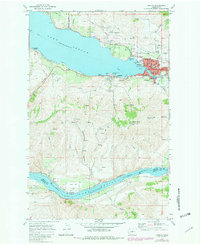
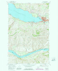
Lake Chelan serves as the focal point of this late 1960s survey, where the town of Chelan sits at the foot of the water near its outlet into the Chelan River. The landscape reflects a burgeoning recreation and transit hub, featuring a Seaplane Base on the water and a Golf and Country Club just north of the corporate boundary. This era shows the developed town center with its High Sch and Hospital, alongside the more industrial infrastructure of the Burlington Northern railroad running along the south bank of Lake Entiat.
Find a feature on this map
49 named features on this map. Tap any name to fly to it.
Don’t see what you’re looking for? This feature index may not catch every label — zoom into the map to look around manually.
Map Details
Editions of this 1968 Chelan Map
Other maps of this area

1901 · Chelan
USGS Topo · 1:125,000

1953 · Ritzville
USGS Topo · 1:250,000

1957 · Wenatchee
USGS Topo · 1:250,000

1959 · Ritzville
USGS Topo · 1:250,000

1965 · Ritzville
USGS Topo · 1:250,000

1968 · Lamoine
USGS Topo · 1:24,000

1968 · Chelan Falls
USGS Topo · 1:24,000
1968 · Azwell
USGS Topo · 1:24,000

1968 · Waterville
USGS Topo · 1:24,000
1968 · Cooper Ridge
USGS Topo · 1:24,000