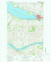
1968 Map of Chelan
USGS Topo · Published 1981About this map
Lake Chelan anchors this detailed topographical view, showing the city of Chelan as it transitioned during the late 1960s and through photorevised updates in 1981. The map illustrates a developed lakeside corridor featuring the Golf and Country Club, a Seaplane Base, and the Chelan Fraternal Cem. The terrain rises sharply from the water toward Chelan Butte, where a Lookout Tower and several radio towers overlook the valley.
Find a feature on this map
54 named features on this map. Tap any name to fly to it.
Don’t see what you’re looking for? This feature index may not catch every label — zoom into the map to look around manually.
Map Details
Editions of this 1968 Chelan Map
Other maps of this area

1901 · Chelan
USGS Topo · 1:125,000

1953 · Ritzville
USGS Topo · 1:250,000

1957 · Wenatchee
USGS Topo · 1:250,000

1959 · Ritzville
USGS Topo · 1:250,000

1965 · Ritzville
USGS Topo · 1:250,000

1968 · Chelan
USGS Topo · 1:24,000

1968 · Lamoine
USGS Topo · 1:24,000

1968 · Chelan Falls
USGS Topo · 1:24,000
1968 · Azwell
USGS Topo · 1:24,000

1968 · Waterville
USGS Topo · 1:24,000