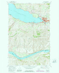
1968 Map of Chelan
USGS Topo · Published 1987About this map
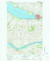
Chelan sits at the precipice of the massive Lake Chelan basin, serving as a hub where the lake narrows toward its southeastern outlet. By the late 1960s, this area showed a complex mix of recreation and industry, featuring a Seaplane Base Park and the Lake Chelan Golf and Country Club alongside numerous Gravel Pits and a Sewage Disposal plant. The town of Lakeside is visible just west of the main settlement, while the steep slopes of Chelan Butte dominate the central landscape.
Find a feature on this map
52 named features on this map. Tap any name to fly to it.
Don’t see what you’re looking for? This feature index may not catch every label — zoom into the map to look around manually.
Map Details
Editions of this 1968 Chelan Map
Other maps of this area

1901 · Chelan
USGS Topo · 1:125,000

1953 · Ritzville
USGS Topo · 1:250,000

1957 · Wenatchee
USGS Topo · 1:250,000

1959 · Ritzville
USGS Topo · 1:250,000

1965 · Ritzville
USGS Topo · 1:250,000

1968 · Chelan
USGS Topo · 1:24,000

1968 · Lamoine
USGS Topo · 1:24,000

1968 · Chelan Falls
USGS Topo · 1:24,000
1968 · Azwell
USGS Topo · 1:24,000

1968 · Waterville
USGS Topo · 1:24,000