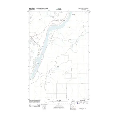
2011 Map of Chelan Falls
USGS Topo · Published 2011About this map
The Columbia River carves a deep valley through this landscape, serving as the primary geographical and economic axis between Chelan and Chelan Falls. The river's influence is evident in the cluster of infrastructure along its banks, from the Chelan State Fish Hatchery to the recreational space at Beebe Bridge Park. Settlement patterns follow the irrigation and transportation corridors, with orchards and residential areas concentrated near Beebe and the elevated plains of Howard Flats.
Find a feature on this map
68 named features on this map. Tap any name to fly to it.
Don’t see what you’re looking for? This feature index may not catch every label — zoom into the map to look around manually.
Map Details
Editions of this 2011 Chelan Falls Map
This is the sole edition of this map. No revisions or reprints were ever made.
Other maps of this area

1901 · Chelan
USGS Topo · 1:125,000

1953 · Ritzville
USGS Topo · 1:250,000

1957 · Wenatchee
USGS Topo · 1:250,000

1959 · Ritzville
USGS Topo · 1:250,000

1965 · Ritzville
USGS Topo · 1:250,000

1968 · Withrow
USGS Topo · 1:24,000

1968 · Chelan
USGS Topo · 1:24,000

1968 · Lamoine
USGS Topo · 1:24,000

1968 · Chelan Falls
USGS Topo · 1:24,000

1968 · Wells Dam
USGS Topo · 1:24,000