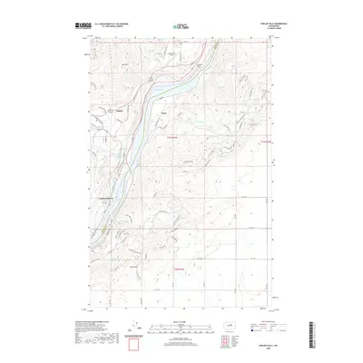
2020 Map of Chelan Falls
USGS Topo · Published 2020About this map
Lake Entiat dominates this 2020 landscape, carving a wide path through the high desert terrain of central Washington. The river valley acts as a sharp natural boundary between Chelan and Douglas counties, with the city of Chelan and the smaller community of Chelan Falls situated along the western banks. On the eastern shore, the settlement of Beebe sits at the foot of steep hillsides, illustrating the region's historical reliance on the water's edge for commerce and transit.
Find a feature on this map
93 named features on this map. Tap any name to fly to it.
Don’t see what you’re looking for? This feature index may not catch every label — zoom into the map to look around manually.
Map Details
Editions of this 2020 Chelan Falls Map
This is the sole edition of this map. No revisions or reprints were ever made.
Other maps of this area

1901 · Chelan
USGS Topo · 1:125,000

1953 · Ritzville
USGS Topo · 1:250,000

1957 · Wenatchee
USGS Topo · 1:250,000

1959 · Ritzville
USGS Topo · 1:250,000

1965 · Ritzville
USGS Topo · 1:250,000

1968 · Withrow
USGS Topo · 1:24,000

1968 · Chelan
USGS Topo · 1:24,000

1968 · Lamoine
USGS Topo · 1:24,000

1968 · Chelan Falls
USGS Topo · 1:24,000

1968 · Wells Dam
USGS Topo · 1:24,000