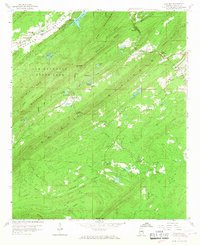
1959 Map of Chelsea
USGS Topo · Published 1967About this map
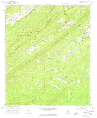
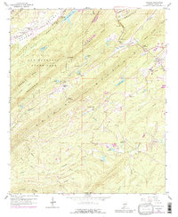
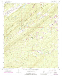
Oak Mountain State Park dominates the northwest corner of this late-1950s landscape, where the ridges of Double Oak Mountain and Valley Ridge create a series of natural gaps and valleys. The settlement of Chelsea serves as a small hub in the northeast, while Simmsville and East Saginaw anchor the central and southern reaches. This era shows the convergence of the Seaboard Coast Line and Central of Georgia railroads, tracing the low ground between the peaks. Local life is mapped through its institutions, including New Hope Ch, Simmsville Chapel, and the Chelsea Sch. Water management is evident in numerous named reservoirs like Lenora Lake, Lake Gizella, and Boyden Lake, which suggest a transition from natural drainage to more structured land use near the Little Cahaba River. These features, along with family-named sites like Shackleford Gap and Bailey Cem, provide a detailed record of Shelby County's mid-century rural character.
Find a feature on this map
52 named features on this map. Tap any name to fly to it.
Don’t see what you’re looking for? This feature index may not catch every label — zoom into the map to look around manually.
Map Details
Editions of this 1959 Chelsea Map
7 editions found
Other maps of this area

1890 · Bessemer
USGS Topo · 1:125,000

1892 · Bessemer
USGS Topo · 1:125,000

1905 · Bessemer Iron District
USGS Topo · 1:62,500

1906 · Vandiver
USGS Topo · 1:62,500

1907 · Bessemer Special
USGS Topo · 1:62,500

1908 · Vandiver
USGS Topo · 1:62,500

1909 · Columbiana
USGS Topo · 1:62,500

1910 · Montevallo
USGS Topo · 1:62,500

1911 · Columbiana
USGS Topo · 1:62,500

1953 · Birmingham
USGS Topo · 1:250,000