Loading...
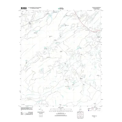
Loading map...1959 Map of Chelsea
USGS Topo · Published 1971About this map
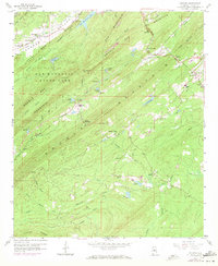
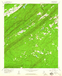
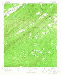
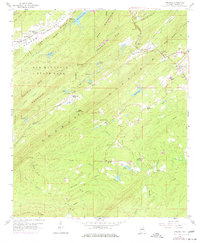
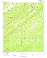
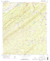
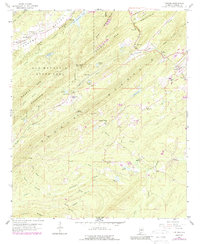
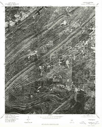
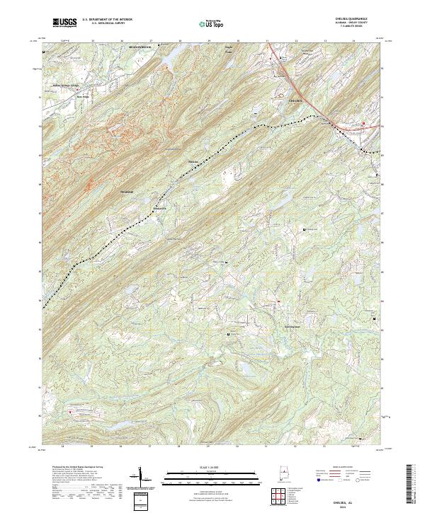
Oak Mountain State Park anchors this portion of Shelby County, where the ridgelines of Oak Mountain and Double Oak Mountain define the topography and settlement patterns. The landscape is marked by a series of high-elevation gaps and narrow passes, including Shackelford Gap and The Narrows, which dictated the early routes of travel and commerce. The Seaboard Coast Line railroad cuts through these gaps, serving small communities like Chelsea and Simmsville.
Find a feature on this map
53 named features on this map. Tap any name to fly to it.
Don’t see what you’re looking for? This feature index may not catch every label — zoom into the map to look around manually.
Map Details
Date Portrayed1959
Date Published1971
PublisherU.S. Geological Survey
Map TypeTopographic
Scale1:24,000
Physical Dimensions22 x 26.8 inches
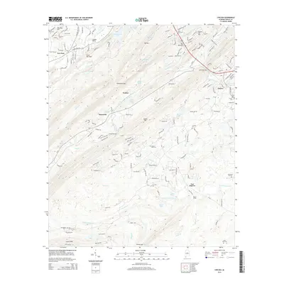
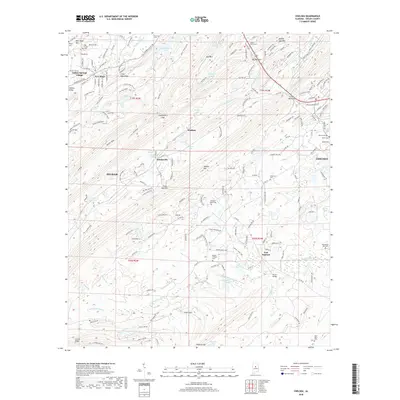
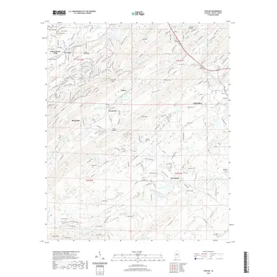
Editions of this 1959 Chelsea Map
7 editions found
Historical Maps of Pelham Through Time
7 maps found
Featured Locations
Source Details
SourceU.S. Geological Survey
CopyrightPublic Domain