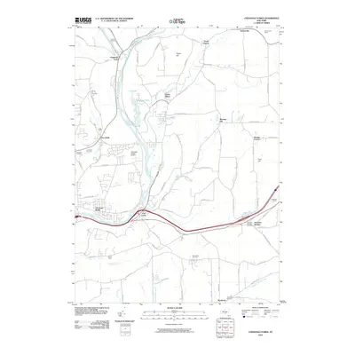
2010 Map of Chenango Forks
USGS Topo · Published 2010About this map
Chenango Forks sits at the northern confluence where the Tioughnioga River meets the Chenango River, defining a landscape shaped by water and transport. This 2010 survey details the river valley’s evolution from traditional rural settlements like Kattellville and Port Crane into a more contemporary suburban-rural mix. The southern portion of the quadrangle is dominated by the corridor of Interstate 88 and the Chenango River, which snakes past Chenango Bridge and the local Chenango Bridge Airport.
Find a feature on this map
88 named features on this map. Tap any name to fly to it.
Don’t see what you’re looking for? This feature index may not catch every label — zoom into the map to look around manually.
Map Details
Editions of this 2010 Chenango Forks Map
This is the sole edition of this map. No revisions or reprints were ever made.
Other maps of this area

1902 · Coventry
USGS Topo · 1:62,500

1904 · Binghamton
USGS Topo · 1:62,500

1904 · Greene
USGS Topo · 1:62,500

1904 · Oxford
USGS Topo · 1:62,500

1905 · Nineveh
USGS Topo · 1:62,500

1934 · Castle Creek
USGS Topo · 1:24,000

1935 · Binghamton West
USGS Topo · 1:24,000

1935 · Chenango Forks
USGS Topo · 1:24,000

1937 · Binghamton East
USGS Topo · 1:24,000

1942 · Binghamton West
USGS Topo · 1:31,680