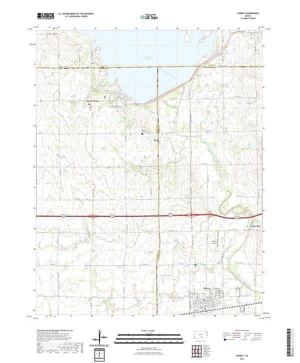
2022 Map of Cheney
USGS Topo · Published 2022About this map
Cheney Reservoir dominates the northern landscape of this region, its waters held by the damming of the North Fork Ninnescah River. The surrounding terrain is defined by a dense grid of rural roads such as Maple Grove Rd and Yoder Rd, which delineate the agricultural sections between the settlements of Cheney and Mount Vernon. This arrangement reflects the long-standing land-use patterns of South Central Kansas, where small crossroads communities served as essential hubs for the surrounding farming families.
Find a feature on this map
78 named features on this map. Tap any name to fly to it.
Don’t see what you’re looking for? This feature index may not catch every label — zoom into the map to look around manually.
Map Details
Editions of this 2022 Cheney Map
This is the sole edition of this map. No revisions or reprints were ever made.
Other maps of this area

1889 · Cheney
USGS Topo · 1:125,000

1891 · Cheney
USGS Topo · 1:125,000

1901 · Cheney
USGS Topo · 1:125,000

1955 · Wichita
USGS Topo · 1:250,000

1958 · Wichita
USGS Topo · 1:250,000

1959 · Mount Hope
USGS Topo · 1:24,000

1964 · Cheney
USGS Topo · 1:24,000

1965 · Garden Plain
USGS Topo · 1:24,000

1965 · Cheney SE
USGS Topo · 1:24,000
1965 · Waterloo
USGS Topo · 1:24,000