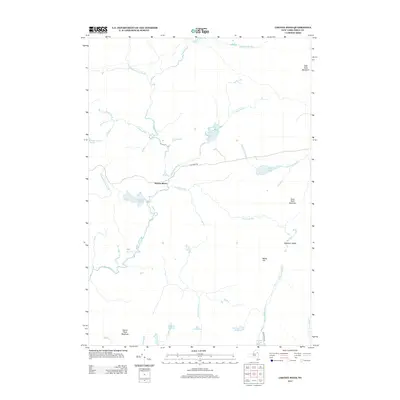
2013 Map of Cheney Pond
USGS Topo · Published 2013About this map
The Boreas River winds through this Adirondack landscape, serving as a central hydrologic artery for a region defined by high ridges and isolated mountain ponds. High points like Wolf Pond Mountain and Hewitt Pond Mountain anchor the terrain, while long-established routes like Blue Ridge Rd provide the primary human passage through the dense network of brooks and ridges. The map details a complex system of drainage including Vanderwhacker Brook and Sand Pond Brook, which feed into various named water bodies such as Cheney Pond and Wolf Pond. This 2013 survey illustrates the area's transition into the 21st century, where the focus remains on the preservation of its diverse waterscapes, from the larger Bailey Pond to the smaller Black Pond and Mud Pond near the southern boundary.
Find a feature on this map
27 named features on this map. Tap any name to fly to it.
Don’t see what you’re looking for? This feature index may not catch every label — zoom into the map to look around manually.
Map Details
Editions of this 2013 Cheney Pond Map
This is the sole edition of this map. No revisions or reprints were ever made.
Other maps of this area

1895 · Mt. Marcy
USGS Topo · 1:62,500

1897 · Schroon Lake
USGS Topo · 1:62,500

1898 · Newcomb
USGS Topo · 1:62,500

1901 · Newcomb
USGS Topo · 1:62,500

1902 · Mt. Marcy
USGS Topo · 1:62,500

1904 · Santanoni
USGS Topo · 1:62,500

1948 · Ogdensburg
USGS Topo · 1:250,000

1950 · Glens Falls
USGS Topo · 1:250,000

1950 · Lake Champlain
USGS Topo · 1:250,000

1950 · Utica
USGS Topo · 1:250,000