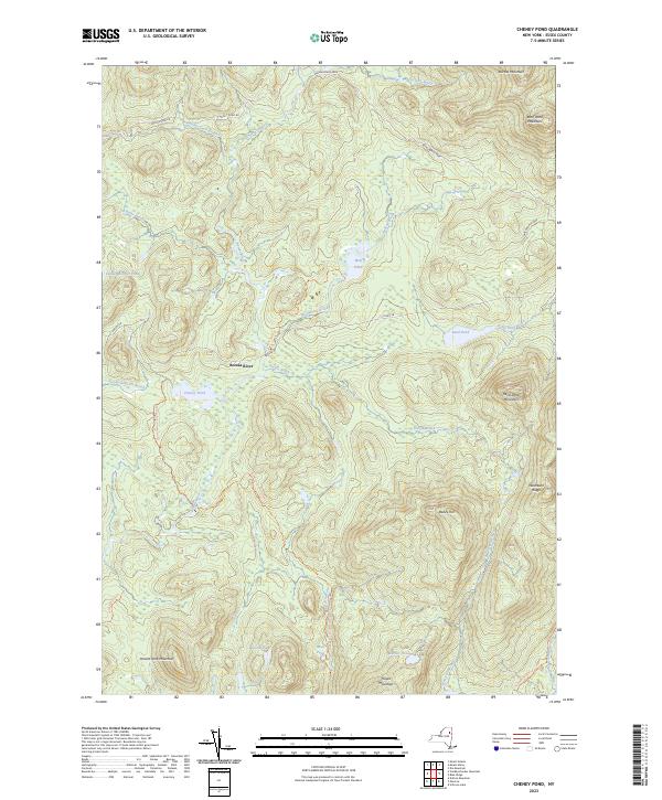
2023 Map of Cheney Pond
USGS Topo · Published 2023About this map
Adirondack Park land dominates this quadrangle, where high peaks and an intricate network of waterways define the landscape. The Boreas River serves as the central drainage for the region, winding through the valley between Boreas Mountain and Wolf Pond Mountain. The area is marked by numerous high-elevation bodies of water, including the namesake Cheney Pond and the more remote Wolf Pond.
Find a feature on this map
35 named features on this map. Tap any name to fly to it.
Don’t see what you’re looking for? This feature index may not catch every label — zoom into the map to look around manually.
Map Details
Editions of this 2023 Cheney Pond Map
This is the sole edition of this map. No revisions or reprints were ever made.
Other maps of this area

1895 · Mt. Marcy
USGS Topo · 1:62,500

1897 · Schroon Lake
USGS Topo · 1:62,500

1898 · Newcomb
USGS Topo · 1:62,500

1901 · Newcomb
USGS Topo · 1:62,500

1902 · Mt. Marcy
USGS Topo · 1:62,500

1904 · Santanoni
USGS Topo · 1:62,500

1948 · Ogdensburg
USGS Topo · 1:250,000

1950 · Glens Falls
USGS Topo · 1:250,000

1950 · Lake Champlain
USGS Topo · 1:250,000

1950 · Utica
USGS Topo · 1:250,000