
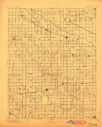
1891 Map of Cheney
USGS Topo · Published 1891About this map
The Arkansas River cuts a prominent path across this late-nineteenth-century landscape, defining the northern agricultural reaches of Sedgwick and Reno counties. During this era of rapid prairie settlement, the development of the region was tethered tightly to several competing rail lines, including the Missouri Pacific Railroad and the Wichita and Western Railroad. These iron arteries supported a network of essential post offices such as Stella P.O. and Waterloo P.O., many of which served as the lifeblood for rural families before rural free delivery became standard.
Find a feature on this map
77 named features on this map. Tap any name to fly to it.
Don’t see what you’re looking for? This feature index may not catch every label — zoom into the map to look around manually.
Map Details
Editions of this 1891 Cheney Map
2 editions found
Other maps of this area

1889 · Newton
USGS Topo · 1:125,000

1889 · Anthony
USGS Topo · 1:125,000

1889 · Cheney
USGS Topo · 1:125,000

1889 · Wichita
USGS Topo · 1:125,000

1889 · Caldwell
USGS Topo · 1:125,000

1890 · Wellington
USGS Topo · 1:125,000

1891 · Hutchinson
USGS Topo · 1:125,000

1891 · Anthony
USGS Topo · 1:125,000

1892 · Kingman
USGS Topo · 1:125,000

1893 · Caldwell
USGS Topo · 1:125,000