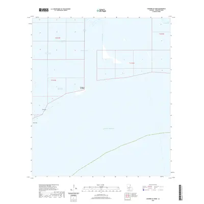
2020 Map of Cheniere au Tigre
USGS Topo · Published 2020About this map
Cheniere au Tigre sits as a narrow coastal upland along the edge of the Gulf of Mexico, defined by a series of ridges and an intricate network of man-made waterways. The landscape reveals a pattern of marsh management and navigation through features like the Belle Isle Canal, McIlhenny Canal, and Last Point Canal. These waterways cut through the low-lying terrain of Vermilion Parish, connecting inland marshes to the open sea. Near the shoreline, Bill Ridge provides a slight elevation above the surrounding wetlands, while Tigre Point marks a distinct protrusion into the gulf. The proximity of Cheniere Au Tigre Bayou and the West Cheniere Au Tigre Canal to the primary settlement area suggests a history shaped by water-based transit and coastal ecology, reflecting the unique geography of this remote stretch of the Louisiana coast.
Find a feature on this map
15 named features on this map. Tap any name to fly to it.
Don’t see what you’re looking for? This feature index may not catch every label — zoom into the map to look around manually.
Map Details
Editions of this 2020 Cheniere au Tigre Map
This is the sole edition of this map. No revisions or reprints were ever made.
Other maps of this area

1932 · Pecan Island SE
USGS Topo · 1:31,680

1945 · Pecan Island NE
USGS Topo · 1:31,680

1946 · Redfish Point SW
USGS Topo · 1:31,680

1946 · Redfish Point NE
USGS Topo · 1:31,680

1946 · Redfish Point SE
USGS Topo · 1:31,680

1946 · Redfish Point NW
USGS Topo · 1:31,680

1951 · Pecan Island
USGS Topo · 1:62,500

1951 · Cheniere Au Tigre
USGS Topo · 1:62,500
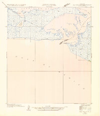
1954 · Redfish Point SE
USGS Topo · 1:31,680
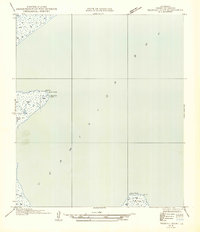
1954 · Redfish Point NE
USGS Topo · 1:31,680