
1892 Map of Cheniere Caminada
USGS Topo · Published 1892About this map
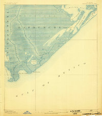
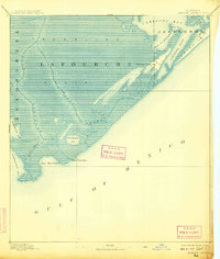
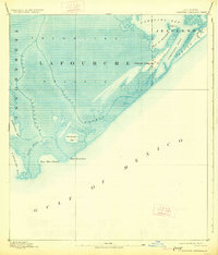
Trembling Prairie dominates the low-lying coastal marshes of this 1892 survey, capturing the fragile landscape of the Louisiana gulf coast just a year before the devastating 1893 hurricane. The settlement of Cheniere Caminada is clearly delineated along the ridge, showing the positioning of buildings and community structure before it was largely destroyed by the storm. This map provides a critical geographic record of the region's topography, highlighting the intricate network of tidal inlets and waterways including Bayou Lafourche and Bayou Moreau.
Find a feature on this map
17 named features on this map. Tap any name to fly to it.
Don’t see what you’re looking for? This feature index may not catch every label — zoom into the map to look around manually.
Map Details
Editions of this 1892 Cheniere Caminada Map
4 editions found
Other maps of this area

1892 · Creole
USGS Topo · 1:62,500

1893 · Fort Livingston
USGS Topo · 1:62,500

1894 · Timbalier
USGS Topo · 1:62,500

1894 · Lake Felicity
USGS Topo · 1:62,500

1935 · Bay Courant
USGS Topo · 1:31,680

1935 · Pelican Pass
USGS Topo · 1:31,680

1935 · Mink Bayou
USGS Topo · 1:31,680

1935 · Calumet Island
USGS Topo · 1:31,680

1935 · Leeville
USGS Topo · 1:31,680

1939 · Lake Felicity
USGS Topo · 1:62,500