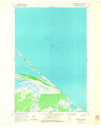
1964 Map of Chequamegon Point
USGS Topo · Published 1965About this map
Chequamegon Point extends as a slender barrier into the waters of Lake Superior, sheltering the entrance to Chequamegon Bay in this 1964 field-checked survey. The map details a complex wetland landscape south of the point, where the Bad River and Kakagon River meander through a vast marshy estuary. This area, largely part of the Sanborn boundary, is defined by an intricate network of waterways including Bad River Slough, Kakagon Slough, and Sand Cut Slough. The absence of roads or established settlements on this sheet emphasizes the maritime and natural character of the shoreline during the mid-1960s. Genealogists and historians can trace the precise hydrology of these river mouths and the position of smaller tributaries like Beartrap Creek and Wood Creek as they appeared before decades of shoreline shifts.
Find a feature on this map
12 named features on this map. Tap any name to fly to it.
Don’t see what you’re looking for? This feature index may not catch every label — zoom into the map to look around manually.
Map Details
Editions of this 1964 Chequamegon Point Map
2 editions found
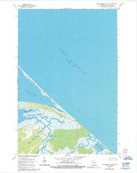
Other maps of this area

1941 · Bayfield
USGS Topo · 1:48,000

1942 · Ashland
USGS Topo · 1:48,000

1943 · Odanah
USGS Topo · 1:48,000

1945 · Odanah
USGS Topo · 1:48,000

1946 · Bayfield
USGS Topo · 1:48,000

1947 · Ashland
USGS Topo · 1:48,000

1953 · Ashland
USGS Topo · 1:250,000

1958 · Ashland
USGS Topo · 1:250,000
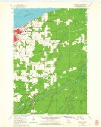
1964 · Ashland East
USGS Topo · 1:24,000
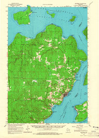
1964 · Bayfield
USGS Topo · 1:62,500