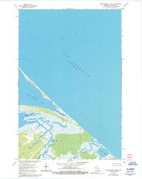
1964 Map of Chequamegon Point
USGS Topo · Published 1992About this map
Chequamegon Point dominates this coastal landscape, a slender barrier beach stretching into the southern reaches of Lake Superior. This survey captures the intricate aquatic network where the inland waters meet the Great Lakes, separating Chequamegon Bay from the open water. The southern portion of the map reveals a vast wetland environment within Sanborn, characterized by the meandering courses of the Kakagon River and the Bad River. These waterways, along with Kakagon Slough and Bad River Slough, create a complex delta system of channels and marshes. The map also records smaller tributaries like Beartrap Creek and Wood Creek as they drain into the sloughs, illustrating the natural hydrological state of this Ashland County shoreline before significant modern development altered these sensitive marshlands.
Find a feature on this map
14 named features on this map. Tap any name to fly to it.
Don’t see what you’re looking for? This feature index may not catch every label — zoom into the map to look around manually.
Map Details
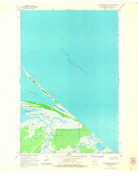
Editions of this 1964 Chequamegon Point Map
2 editions found
Other maps of this area

1941 · Bayfield
USGS Topo · 1:48,000

1942 · Ashland
USGS Topo · 1:48,000

1943 · Odanah
USGS Topo · 1:48,000

1945 · Odanah
USGS Topo · 1:48,000

1946 · Bayfield
USGS Topo · 1:48,000

1947 · Ashland
USGS Topo · 1:48,000

1953 · Ashland
USGS Topo · 1:250,000

1958 · Ashland
USGS Topo · 1:250,000
1964 · Ashland East
USGS Topo · 1:24,000
1964 · Bayfield
USGS Topo · 1:62,500