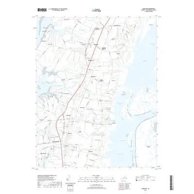
2019 Map of Cheriton
USGS Topo · Published 2019About this map
Northampton County Courthouse serves as a central anchor for the town of Eastville, illustrating the long-standing civic history of this coastal Virginia region. The landscape is defined by its intricate shoreline of necks and bays, where Savage Neck and Eyreville Neck reach into the Chesapeake Bay. Numerous small settlements such as Stumptown, Pat Town, and James Crossroads are scattered along the inland road network, often centered around family-named landmarks like Drummonds Millpond. The map reveals a high concentration of cemeteries, including Holland Cem and Whitehead Cem, which offer significant value for genealogical research. Along the eastern shore, the geography shifts to a complex network of marshes and tidal channels, such as Mockhorn Channel and Narrow Channel Br, protecting the interior from the Atlantic.
Find a feature on this map
152 named features on this map. Tap any name to fly to it.
Don’t see what you’re looking for? This feature index may not catch every label — zoom into the map to look around manually.
Map Details
Editions of this 2019 Cheriton Map
This is the sole edition of this map. No revisions or reprints were ever made.
Other maps of this area

1942 · Cheriton
USGS Topo · 1:24,000

1942 · Cobb Island
USGS Topo · 1:24,000

1942 · Nassawadox
USGS Topo · 1:24,000

1943 · Nassawadox
USGS Topo · 1:31,680

1943 · Elliots Creek
USGS Topo · 1:25,000

1943 · Townsend
USGS Topo · 1:24,000

1943 · Franktown
USGS Topo · 1:31,680

1943 · Richmond
USGS Topo · 1:250,000

1946 · Eastville
USGS Topo · 1:250,000

1948 · Cape Charles
USGS Topo · 1:24,000