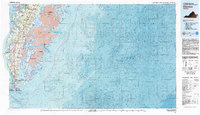
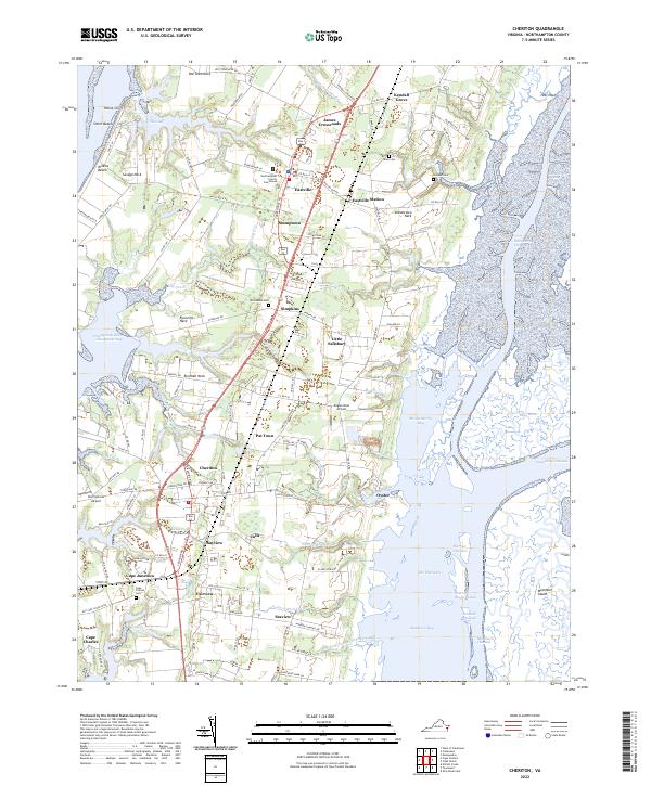
1977 Map of Cheriton
USGS Topo · Published 1982About this map
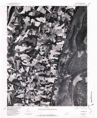
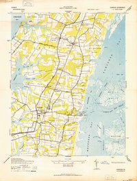
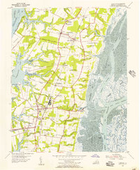
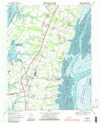
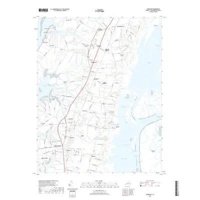
Eastville serves as a central anchor in this late 1970s orthophotograph of Virginia's Eastern Shore, where the landscape is defined by an intricate network of coastal inlets and agricultural tracts. This specialized imagery, produced in cooperation with the Soil Conservation Service, captures the literal footprint of the land between Cherrystone Inlet on the west and the expansive wetlands of Ramshorn Marsh to the east. The map provides a unique view of established coastal settlements like Oyster, situated on the edge of Mockhorn Bay, and inland communities including Cheriton, Bayview, and Fairview. The visual data reveals the precise layout of fields and woodlots surrounding Old Plantation, reflecting the region’s long-standing agricultural heritage. By documenting the intersection of maritime geography and rural development, the imagery preserves the exact state of the peninsula's bays, such as Elkins Bay, and the drainage of Matawoman Creek before later modern shifts.
Find a feature on this map
14 named features on this map. Tap any name to fly to it.
Don’t see what you’re looking for? This feature index may not catch every label — zoom into the map to look around manually.
Map Details
Editions of this 1977 Cheriton Map
This is the sole edition of this map. No revisions or reprints were ever made.
Historical Maps of Cape Charles Through Time
10 maps found
1942 Cheriton
Northampton County, VA
1955 Cheriton
Northampton County, VA
1968 Cheriton
Northampton County, VA
1977 Cheriton
Northampton County, VA
1981 Cheriton
Northampton County, VA
2011 Cheriton
Northampton County, VA
2013 Cheriton
Northampton County, VA
2016 Cheriton
Northampton County, VA
2019 Cheriton
Northampton County, VA
2022 Cheriton
Northampton County, VA