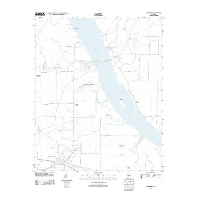
2011 Map of Cherokee
USGS Topo · Published 2011About this map
Cherokee sits in the southwestern portion of this landscape, serving as a focal point for the surrounding rural communities and family-named cemeteries. The wide Tennessee River bisects the area, crossed by the prominent Natchez Trace Parkway Bridge and holding Kogers Island within its current. The eastern banks are marked by the Prairie Bottom and small settlements like Smithsonia, while the western side features a network of valleys including Sellers Hollow and White Oak Hollow. Local history is deeply embedded in the land, evident in the numerous burial grounds like Burnstown Cemetery and the legacy of the Kirk Post Office near Mhoontown. The terrain transitions from the river flats to the dissected uplands where Malone Creek and Colbert Creek carve through the countryside, reflecting a long history of settlement along these essential water sources.
Find a feature on this map
83 named features on this map. Tap any name to fly to it.
Don’t see what you’re looking for? This feature index may not catch every label — zoom into the map to look around manually.
Map Details
Editions of this 2011 Cherokee Map
This is the sole edition of this map. No revisions or reprints were ever made.
Other maps of this area

1911 · Iuka
USGS Topo · 1:48,000

1914 · Iuka
USGS Topo · 1:62,500

1924 · Gravelly Springs
USGS Topo · 1:48,000

1925 · Barton
USGS Topo · 1:62,500

1926 · Barton
USGS Topo · 1:48,000

1926 · Gravelly Springs
USGS Topo · 1:62,500

1929 · Barton
USGS Topo · 1:62,500

1935 · Cherokee
USGS Topo · 1:24,000

1935 · Wright
USGS Topo · 1:24,000

1936 · Margerum
USGS Topo · 1:24,000