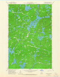
1960 Map of Cherokee Lake
USGS Topo · Published 1965About this map
Cherokee Lake dominates this 1960s survey of the northern Minnesota wilderness, sitting at the heart of a complex hydrologic network within the Superior National Forest. This region, surveyed before the modern era of wilderness management, showcases an intricate system of portages and water routes connecting South Temperance Lake, Brule Lake, and Kelly Lake. The drainage patterns are clearly defined by the Temperance River and Vern River, illustrating the natural flow through this glacial landscape.
Find a feature on this map
77 named features on this map. Tap any name to fly to it.
Don’t see what you’re looking for? This feature index may not catch every label — zoom into the map to look around manually.
Map Details
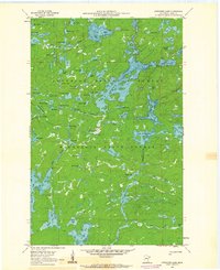
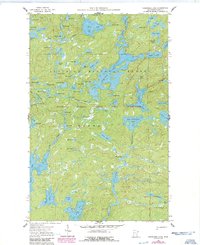
Editions of this 1960 Cherokee Lake Map
3 editions found
Other maps of this area

1919 · Brule Lake
USGS Topo · 1:62,500

1954 · Two Harbors
USGS Topo · 1:250,000

1957 · Two Harbors
USGS Topo · 1:250,000

1957 · Quetico
USGS Topo · 1:250,000

1958 · Two Harbors
USGS Topo · 1:250,000

1959 · Gillis Lake
USGS Topo · 1:24,000

1960 · Tait Lake
USGS Topo · 1:24,000

1960 · Sawbill Camp
USGS Topo · 1:24,000

1960 · Brule Lake
USGS Topo · 1:24,000

1960 · Beth Lake
USGS Topo · 1:24,000