2000 Map of Cherokee Pass
USGS Topo · Published 2003About this map
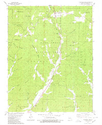
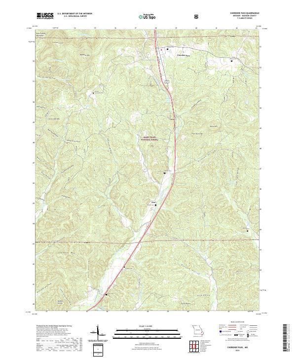
Cherokee Pass and the surrounding drainage of Twelvemile Creek anchor this Missouri-Madison County landscape within the Mark Twain National Forest. The map documents a scattered rural settlement pattern defined by family-named hollows and small religious hubs like London Hill Ch and Twelvemile Ch. Significant genealogical resources are detailed through numerous burial grounds, including the Revelle Cem, Barber Cem, and Sanders Cem. The terrain is characterized by prominent peaks like Matthews Mountain and Cedar Mountain, while a Sawmill and the presence of a pipeline reflect the local resource-based economy. Small settlements such as Central and Cox are preserved here, alongside local landmarks like the Oak Hill Ch, which appears as both a church and school site. The drainage of Peters Hollow Creek and Matthews Creek further defines the rugged topography of the area near the turn of the 21st century.
Find a feature on this map
60 named features on this map. Tap any name to fly to it.
Don’t see what you’re looking for? This feature index may not catch every label — zoom into the map to look around manually.
Map Details
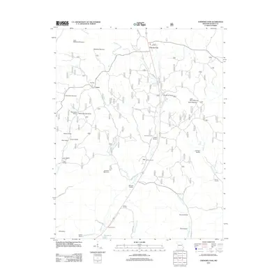
Editions of this 2000 Cherokee Pass Map
This is the sole edition of this map. No revisions or reprints were ever made.
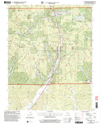
Historical Maps of Cherokee Pass Through Time
6 maps found