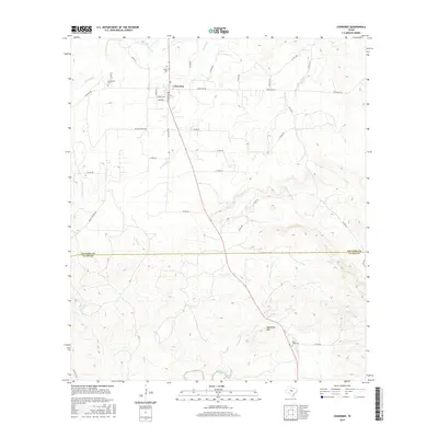
2016 Map of Cherokee
USGS Topo · Published 2016About this map
Cherokee sits at a crossroads of the Texas Hill Country, straddling the northern edge of this survey where Ranch Rd 501 meets several county roads. The landscape is defined by the transition between the drainage basins of the Little Llano River and several significant creeks, including Cherokee Cr and Wolf Cr. For genealogists and local historians, the map identifies three distinct burial sites: Kuykendall Cem, Hanna Cem, and Baby Head Cem, the latter located near the base of Babyhead Mtn.
Find a feature on this map
45 named features on this map. Tap any name to fly to it.
Don’t see what you’re looking for? This feature index may not catch every label — zoom into the map to look around manually.
Map Details
Editions of this 2016 Cherokee Map
This is the sole edition of this map. No revisions or reprints were ever made.
Other maps of this area

1885 · San Saba
USGS Topo · 1:125,000

1887 · Llano
USGS Topo · 1:125,000

1894 · San Saba
USGS Topo · 1:125,000

1894 · Llano
USGS Topo · 1:125,000

1904 · Llano
USGS Topo · 1:125,000

1909 · Llano
USGS Topo · 1:125,000

1918 · Llano
USGS Topo · 1:125,000

1931 · Bend
USGS Topo · 1:62,500

1954 · Brownwood
USGS Topo · 1:250,000

1954 · Llano
USGS Topo · 1:250,000