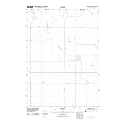
2010 Map of Cherry Grove
USGS Topo · Published 2010About this map
The South Branch Root River meanders across the northern reaches of this rural landscape, which straddles the border between Minnesota and Iowa. In this predominantly agricultural area, the small settlements of Etna, Cherry Grove, and York serve as central nodes for the surrounding farming community. A network of township and county roads, such as County Hwy-14 and County Hwy-5, grids the terrain, connecting isolated farmsteads and points of local significance. Genealogists may find particular value in the distribution of burial grounds, including Etna Cemetery, Love Cemetery, Bethlehem Cemetery, and Canfield Cemetery, which are scattered throughout the quadrangle. The presence of Pietenpol Landing Field south of Cherry Grove highlights a specific point of aviation history, while Canfield Creek and Etna Creek drain the undulating fields into the larger river system to the north.
Find a feature on this map
28 named features on this map. Tap any name to fly to it.
Don’t see what you’re looking for? This feature index may not catch every label — zoom into the map to look around manually.
Map Details
Editions of this 2010 Cherry Grove Map
This is the sole edition of this map. No revisions or reprints were ever made.
Other maps of this area

1954 · Mason City
USGS Topo · 1:250,000

1957 · Mason City
USGS Topo · 1:250,000

1958 · Mason City
USGS Topo · 1:250,000

1965 · Greenleafton
USGS Topo · 1:24,000

1965 · Wykoff
USGS Topo · 1:24,000

1965 · Spring Valley
USGS Topo · 1:24,000

1965 · Ostrander
USGS Topo · 1:24,000

1965 · Fountain
USGS Topo · 1:24,000

1965 · Cherry Grove
USGS Topo · 1:24,000

1981 · Cresco NW
USGS Topo · 1:24,000