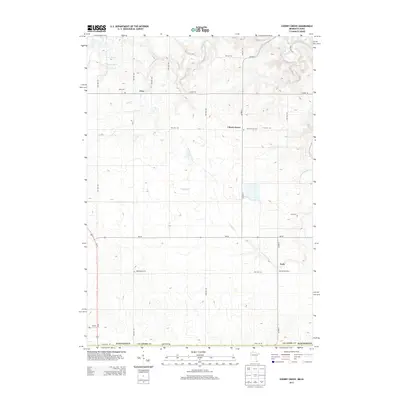
2013 Map of Cherry Grove
USGS Topo · Published 2013About this map
The S Br Root River and its tributaries carve a complex drainage pattern through this corner of Fillmore County, defining a landscape where small rural settlements and family burial grounds remain central to the local geography. The village of Cherry Grove sits as a primary hub, supported by the smaller hamlets of Etna to the north and York to the south. This area, just north of the Iowa border along State Line RD, is characterized by a dense network of township roads like TWP HWY 381 and TWP HWY 384 that connect isolated farmsteads and historic landmarks. Researchers will find several significant genealogical sites, including Cherry Grove Cem, Bethlehem Cem, and Love Cem, which are tucked away along the winding paths of Canfield Cr and other local waterways.
Find a feature on this map
30 named features on this map. Tap any name to fly to it.
Don’t see what you’re looking for? This feature index may not catch every label — zoom into the map to look around manually.
Map Details
Editions of this 2013 Cherry Grove Map
This is the sole edition of this map. No revisions or reprints were ever made.
Other maps of this area

1954 · Mason City
USGS Topo · 1:250,000

1957 · Mason City
USGS Topo · 1:250,000

1958 · Mason City
USGS Topo · 1:250,000

1965 · Greenleafton
USGS Topo · 1:24,000

1965 · Wykoff
USGS Topo · 1:24,000

1965 · Spring Valley
USGS Topo · 1:24,000

1965 · Ostrander
USGS Topo · 1:24,000

1965 · Fountain
USGS Topo · 1:24,000

1965 · Cherry Grove
USGS Topo · 1:24,000

1981 · Cresco NW
USGS Topo · 1:24,000