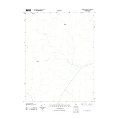
2012 Map of Cherry Mountain
USGS Topo · Published 2012About this map
Rush Creek Mountain and Cherry Mountain dominate this corner of Lassen County, where the high desert landscape is defined by its critical water sources. This 2012 survey captures a remote region characterized by seasonal drainage and several named springs that have likely served as vital landmarks for generations of ranchers and travelers. The presence of Hostetter and Johnson Spring in the northeast and Three Springs to the southwest suggests a long history of range management and land use, as these reliable water points are essential in an arid environment. Transportation is limited to rugged tracks like Smoke Creek Ranch Rd, which winds through the lower elevations near Rush Cr. The map provides a clear look at the drainage patterns from Five Springs Mountain, illustrating how local topography directs the flow toward Stony Cr and other tributaries.
Find a feature on this map
10 named features on this map. Tap any name to fly to it.
Don’t see what you’re looking for? This feature index may not catch every label — zoom into the map to look around manually.
Map Details
Editions of this 2012 Cherry Mountain Map
This is the sole edition of this map. No revisions or reprints were ever made.
Other maps of this area

1886 · Honey Lake
USGS Topo · 1:250,000

1886 · Granite Range
USGS Topo · 1:250,000

1891 · Honey Lake
USGS Topo · 1:250,000

1893 · Honey Lake
USGS Topo · 1:250,000

1894 · Granite Range
USGS Topo · 1:250,000

1954 · Wendel
USGS Topo · 1:62,500

1954 · Shinn Mountain
USGS Topo · 1:62,500

1955 · Westwood
USGS Topo · 1:250,000

1955 · Lovelock
USGS Topo · 1:250,000

1958 · Westwood
USGS Topo · 1:250,000