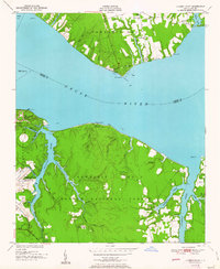
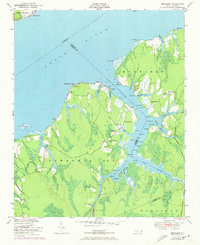
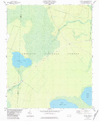
1951 Map of Cherry Point
USGS Topo · Published 1951This historical map portrays the area of Cherry Point in 1951, primarily covering Craven County as well as portions of Pamlico County. Featuring a scale of 1:24000, this map provides a highly detailed snapshot of the terrain, roads, buildings, counties, and historical landmarks in the Cherry Point region at the time. Published in 1951, it is one of 2 known editions of this map due to revisions or reprints.
Find a feature on this map
46 named features on this map. Tap any name to fly to it.
Don’t see what you’re looking for? This feature index may not catch every label — zoom into the map to look around manually.
Map Details
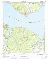
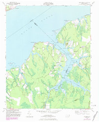
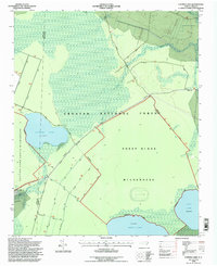
Editions of this 1951 Cherry Point Map
2 editions found
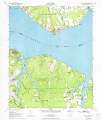
Historical Maps of Janeiro Through Time
12 maps found
1949 Cherry Point
Craven County, NC
1949 Merrimon
Craven County, NC
1951 Cherry Point
Craven County, NC
1951 Merrimon
Craven County, NC

1978 Askin
Craven County, NC
1978 Jasper
Craven County, NC
1983 Ernul
Craven County, NC
1983 Fort Barnwell
Craven County, NC
1984 Catfish Lake
Craven County, NC
1994 Catfish Lake
Craven County, NC
1994 Cherry Point
Craven County, NC
1998 Ernul
Craven County, NC