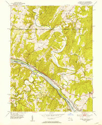
1951 Map of Cherry Run
USGS Topo · Published 1953About this map
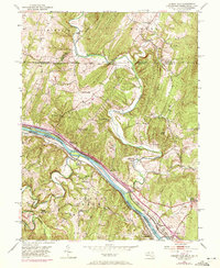
The Potomac River corridor serves as a busy transit artery in this mid-century survey, where the historic Chesapeake and Ohio Canal (Abandoned) and the National Pike run parallel to active heavy rail lines. The landscape is defined by the sharp bends of Licking Creek as it cuts through Orchard Ridge and Elbow Ridge before meeting the river. This area, spanning the border between Maryland and West Virginia, reveals a dense network of early 1950s rural infrastructure including the Baltimore and Ohio Railroad and the Western Maryland Railway. Smaller settlements like Millstone (Moffat Sta) and Ernstville are connected by winding mountain roads. Local heritage is preserved in the location of several country churches and schools, such as Stone Bridge Ch and Ditch Run Sch, along with industry landmarks like Yeakle Mill tucked away in the northern ravines.
Find a feature on this map
55 named features on this map. Tap any name to fly to it.
Don’t see what you’re looking for? This feature index may not catch every label — zoom into the map to look around manually.
Map Details
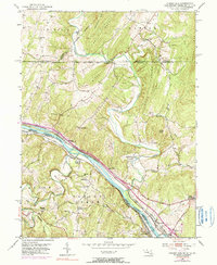
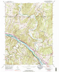
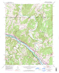
Editions of this 1951 Cherry Run Map
8 editions found
Other maps of this area

1899 · Hancock
USGS Topo · 1:62,500

1900 · Mercersburg
USGS Topo · 1:62,500

1901 · Hancock
USGS Topo · 1:62,500

1902 · Mercersburg
USGS Topo · 1:62,500

1912 · Williamsport
USGS Topo · 1:62,500

1925 · Needmore
USGS Topo · 1:48,000

1935 · Needmore
USGS Topo · 1:62,500

1939 · Needmore
USGS Topo · 1:62,500

1942 · Hagerstown
USGS Topo · 1:125,000

1943 · Hagerstown
USGS Topo · 1:125,000