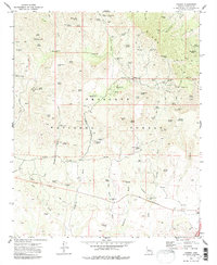
1973 Map of Cherry
USGS Topo · Published 1986About this map
Mining operations dominate the slopes of the Black Hills within the Prescott National Forest, reflecting a legacy of hard-rock extraction in Yavapai County. This early 1970s survey captures a landscape punctuated by numerous claims, including the Sunnybrook Mine, Gold Bullion Mine, and the colorfully named Sitting Bull Mine. The settlement pattern is sparse, defined primarily by resource extraction and seasonal recreation at the Powell Springs Campground.
Find a feature on this map
84 named features on this map. Tap any name to fly to it.
Don’t see what you’re looking for? This feature index may not catch every label — zoom into the map to look around manually.
Map Details
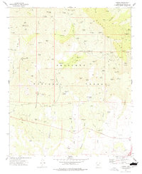
Editions of this 1973 Cherry Map
2 editions found
Other maps of this area

1887 · Verde
USGS Topo · 1:250,000

1887 · Prescott
USGS Topo · 1:250,000

1892 · Verde
USGS Topo · 1:250,000

1892 · Prescott
USGS Topo · 1:250,000

1903 · Bradshaw Mountains
USGS Topo · 1:125,000

1905 · Jerome
USGS Topo · 1:125,000

1923 · Camp Verde
USGS Topo · 1:125,000

1929 · Turret Peak
USGS Topo · 1:125,000

1932 · Camp Verde
USGS Topo · 1:125,000

1933 · Turret Peak
USGS Topo · 1:125,000