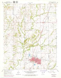
1962 Map of Cherryvale
USGS Topo · Published 1979About this map
The intersection of the St Louis San Francisco and the Atchison Topeka and Santa Fe railroads defines the industrial character of Cherryvale, Kansas. This 1960s-era landscape is heavily marked by the Cherry Oil Field, with numerous oil wells and quarries scattered across the terrain. A notable historic feature is the Old Indian Treaty Boundary, which cuts vertically through the center of the sheet, providing a spatial record of early land divisions.
Find a feature on this map
31 named features on this map. Tap any name to fly to it.
Don’t see what you’re looking for? This feature index may not catch every label — zoom into the map to look around manually.
Map Details
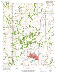
Editions of this 1962 Cherryvale Map
2 editions found
Other maps of this area

1886 · Independence
USGS Topo · 1:125,000

1886 · Parsons
USGS Topo · 1:125,000

1893 · Parsons
USGS Topo · 1:125,000

1894 · Independence
USGS Topo · 1:125,000

1905 · Independence
USGS Topo · 1:125,000

1945 · Parsons
USGS Topo · 1:62,500

1946 · Parsons
USGS Topo · 1:62,500

1946 · Mound Valley
USGS Topo · 1:62,500

1947 · Parsons
USGS Topo · 1:62,500

1947 · Joplin
USGS Topo · 1:250,000