
1917 Map of Chesaning
USGS Topo · Published 1917About this map
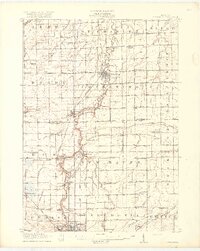
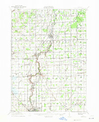
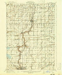
The Shiawassee River meanders northward through this 1917 survey, serving as the central artery for a landscape defined by its agricultural and early industrial transition. Along the riverbanks, the settlements of Chesaning, Oakley, and Parshallburg appear as established hubs connected by the Michigan Central and Ann Arbor railroads. A rare industrial marker in this rural setting is the Sixmile Mine located near New Haven, highlighting the localized coal mining efforts that once supplemented the region's dominant farming economy.
Find a feature on this map
99 named features on this map. Tap any name to fly to it.
Don’t see what you’re looking for? This feature index may not catch every label — zoom into the map to look around manually.
Map Details
Editions of this 1917 Chesaning Map
4 editions found
Other maps of this area

1917 · St. Charles
USGS Topo · 1:62,500

1918 · Elsie
USGS Topo · 1:62,500

1919 · Saginaw
USGS Topo · 1:62,500

1919 · Burt
USGS Topo · 1:62,500

1921 · Burt
USGS Topo · 1:62,500

1922 · Durand
USGS Topo · 1:62,500

1926 · Corunna
USGS Topo · 1:62,500

1928 · Laingsburg
USGS Topo · 1:62,500

1929 · Corunna
USGS Topo · 1:62,500

1934 · Merrill
USGS Topo · 1:62,500