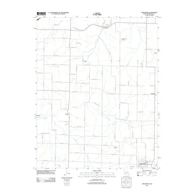
2011 Map of Chesapeake
USGS Topo · Published 2011About this map
Marionville anchors the southeastern corner of this Lawrence County landscape, where the town’s grid meets a network of rural routes and farm roads. The terrain is defined by a dense drainage system including Honey Creek, Williams Creek, and the Elm Branch, which cut through the agricultural countryside. Small historic settlements such as Chesapeake and Orange persist as quiet crossroads, marking the slow evolution of this Ozark plateau region into the early 21st century.
Find a feature on this map
69 named features on this map. Tap any name to fly to it.
Don’t see what you’re looking for? This feature index may not catch every label — zoom into the map to look around manually.
Map Details
Editions of this 2011 Chesapeake Map
This is the sole edition of this map. No revisions or reprints were ever made.
Other maps of this area

1886 · Greenfield
USGS Topo · 1:125,000

1888 · Greenfield
USGS Topo · 1:125,000

1919 · Halltown
USGS Topo · 1:62,500

1921 · Stotts City
USGS Topo · 1:62,500

1942 · Aurora
USGS Topo · 1:62,500

1943 · Monett
USGS Topo · 1:62,500

1945 · Harrison
USGS Topo · 1:250,000

1945 · Aurora
USGS Topo · 1:62,500

1949 · Harrison
USGS Topo · 1:250,000

1954 · Harrison
USGS Topo · 1:250,000