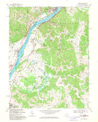
1968 Map of Cheshire
USGS Topo · Published 1970About this map
The Ohio River bisects this river-valley landscape during the late 1960s, serving as the border between Cheshire, Ohio, and Waggener, West Virginia. The region is defined by a dense transportation and industrial network, with the Penn Central, Baltimore and Ohio, and Chesapeake and Ohio railroads following the river's curves through towns like Middleport and West Columbia. Numerous strip mines dot the hillsides above the riverbanks, particularly around Pike Hill.
Find a feature on this map
63 named features on this map. Tap any name to fly to it.
Don’t see what you’re looking for? This feature index may not catch every label — zoom into the map to look around manually.
Map Details
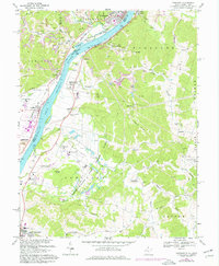
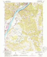
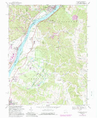
Editions of this 1968 Cheshire Map
4 editions found
Other maps of this area

1907 · Pomeroy
USGS Topo · 1:62,500

1907 · Keno
USGS Topo · 1:62,500

1908 · Ravenswood
USGS Topo · 1:62,500

1908 · Point Pleasant
USGS Topo · 1:62,500

1926 · Ravenswood
USGS Topo · 1:62,500

1926 · Point Pleasant
USGS Topo · 1:62,500

1928 · Ravenswood
USGS Topo · 1:62,500

1929 · Point Pleasant
USGS Topo · 1:62,500

1947 · Columbus
USGS Topo · 1:250,000

1949 · Clarksburg
USGS Topo · 1:250,000