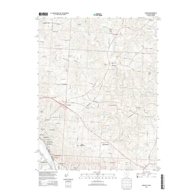
2013 Map of Chester
USGS Topo · Published 2013About this map
Ohio River forms the southern boundary of this Meigs County region, where the steep river bluffs transition into a landscape defined by the drainage basins of the Shade River and its multiple branches. Significant industrial and coal mining heritage is evident in the cluster of riverside settlements including Minersville, Syracuse, and Hartford City. These communities, along with Carletonville and Welsh-town, were traditionally linked to the river commerce and mining operations that powered the local economy.
Find a feature on this map
80 named features on this map. Tap any name to fly to it.
Don’t see what you’re looking for? This feature index may not catch every label — zoom into the map to look around manually.
Map Details
Editions of this 2013 Chester Map
This is the sole edition of this map. No revisions or reprints were ever made.
Other maps of this area

1907 · Pomeroy
USGS Topo · 1:62,500

1907 · Keno
USGS Topo · 1:62,500

1908 · Ravenswood
USGS Topo · 1:62,500

1908 · Point Pleasant
USGS Topo · 1:62,500

1926 · Ravenswood
USGS Topo · 1:62,500

1926 · Point Pleasant
USGS Topo · 1:62,500

1928 · Ravenswood
USGS Topo · 1:62,500

1929 · Point Pleasant
USGS Topo · 1:62,500

1947 · Columbus
USGS Topo · 1:250,000

1949 · Clarksburg
USGS Topo · 1:250,000