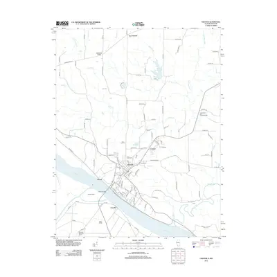
2012 Map of Chester
USGS Topo · Published 2012About this map
The Mississippi River defines the southwestern edge of this landscape, where Chester sits atop the bluffs overlooking the river bottoms and Horse Island. The river's influence on local development is evident in the transition from the concentrated street grid of the city to the smaller outlying communities of Menard and Claryville. To the north and east, the terrain is shaped by a network of drainage systems including Tindall Cr, Gravel Cr, and the Marys River, which flows toward the Mississippi near the settlement of Clores.
Find a feature on this map
113 named features on this map. Tap any name to fly to it.
Don’t see what you’re looking for? This feature index may not catch every label — zoom into the map to look around manually.
Map Details
Editions of this 2012 Chester Map
This is the sole edition of this map. No revisions or reprints were ever made.
Other maps of this area

1912 · Baldwin
USGS Topo · 1:62,500

1914 · Baldwin
USGS Topo · 1:62,500

1914 · Coulterville
USGS Topo · 1:62,500

1915 · Chester
USGS Topo · 1:62,500

1916 · Campbell Hill
USGS Topo · 1:62,500

1917 · Coulterville
USGS Topo · 1:62,500

1918 · Campbell Hill
USGS Topo · 1:62,500

1942 · Baldwin
USGS Topo · 1:62,500

1947 · Chester
USGS Topo · 1:62,500

1949 · Paducah
USGS Topo · 1:250,000