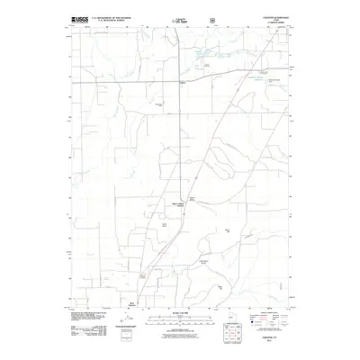
2011 Map of Chester
USGS Topo · Published 2011About this map
Chester sits at the heart of this Sanpete County survey, serving as a focal point for the surrounding agricultural valley. The landscape is defined by the winding San Pitch River and its tributaries, including Oak Creek and Pigeon Creek, which have shaped the settlement patterns and local irrigation. Water management is central to the area's history, evidenced by features like the McKinley Strates Reservoir and the McKinley Strates Dam near the eastern edge of the map.
Find a feature on this map
39 named features on this map. Tap any name to fly to it.
Don’t see what you’re looking for? This feature index may not catch every label — zoom into the map to look around manually.
Map Details
Editions of this 2011 Chester Map
This is the sole edition of this map. No revisions or reprints were ever made.
Other maps of this area

1885 · Manti
USGS Topo · 1:250,000

1895 · Manti
USGS Topo · 1:250,000

1951 · Moroni
USGS Topo · 1:62,500

1956 · Price
USGS Topo · 1:250,000

1960 · Price
USGS Topo · 1:250,000

1962 · Price
USGS Topo · 1:250,000

1965 · Manti
USGS Topo · 1:24,000

1965 · Wales
USGS Topo · 1:24,000

1966 · Spring City
USGS Topo · 1:24,000

1966 · Chester
USGS Topo · 1:24,000