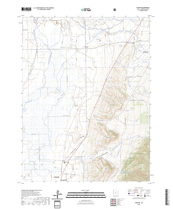
2023 Map of Chester
USGS Topo · Published 2023About this map
The Sanpete Valley floor is defined by an intricate network of irrigation ditches and small reservoirs that sustain agriculture between the settlements of Chester, Spring City, and Ephraim. The hydrology of this high-desert landscape is carefully managed through features like the Upper Chimney Ditch, The Canal Ditch, and Gobblefield Ditch, which redirect water from the San Pitch River and Oak Creek across the alluvial plains. This reliance on water engineering is a central characteristic of the region's development.
Find a feature on this map
61 named features on this map. Tap any name to fly to it.
Don’t see what you’re looking for? This feature index may not catch every label — zoom into the map to look around manually.
Map Details
Editions of this 2023 Chester Map
This is the sole edition of this map. No revisions or reprints were ever made.
Other maps of this area

1885 · Manti
USGS Topo · 1:250,000

1895 · Manti
USGS Topo · 1:250,000

1951 · Moroni
USGS Topo · 1:62,500

1956 · Price
USGS Topo · 1:250,000

1960 · Price
USGS Topo · 1:250,000

1962 · Price
USGS Topo · 1:250,000

1965 · Manti
USGS Topo · 1:24,000

1965 · Wales
USGS Topo · 1:24,000

1966 · Spring City
USGS Topo · 1:24,000

1966 · Chester
USGS Topo · 1:24,000