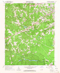
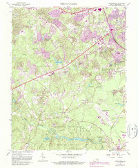
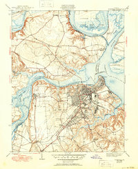
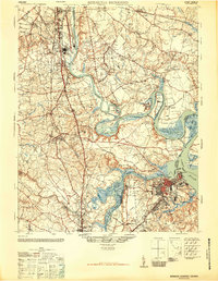
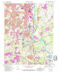
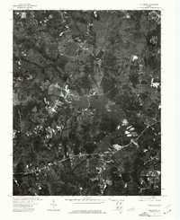
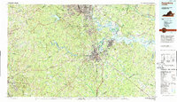
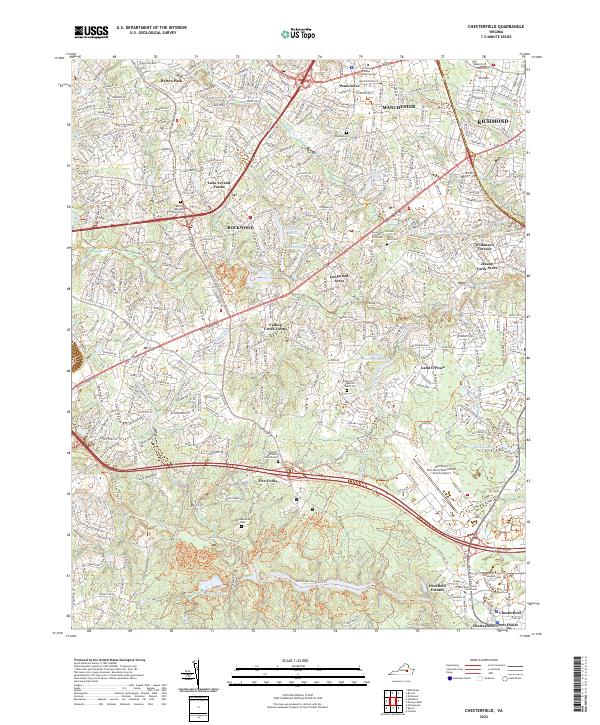
1963 Map of Chesterfield
USGS Topo · Published 1965About this map
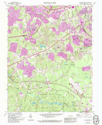
Pocahontas State Park and the adjacent Pocahontas State Forest dominate the southern landscape of this mid-century survey, with Swift Creek Lake and Third Branch Lake anchoring the recreational and timbered grounds. The map captures a period of suburban transition for the county seat at Chesterfield, where established family-named roads like Reams Road and Elkhardt Road meet emerging residential developments such as Penn Acres, Hylton Park, and Land O'Pines.
Find a feature on this map
50 named features on this map. Tap any name to fly to it.
Don’t see what you’re looking for? This feature index may not catch every label — zoom into the map to look around manually.
Map Details
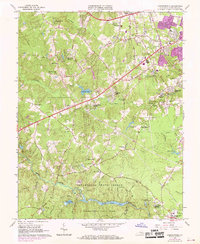
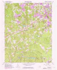
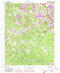
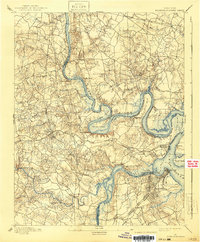
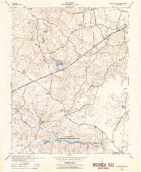
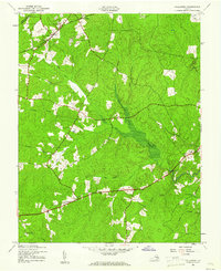
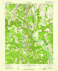
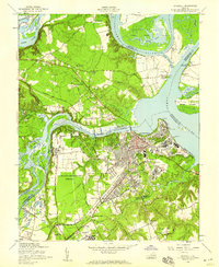
Editions of this 1963 Chesterfield Map
6 editions found
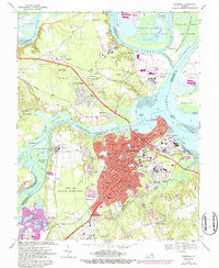
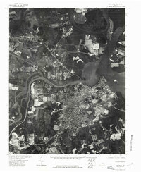
Historical Maps of Manchester Through Time
38 maps found
1894 Bermuda Hundred
Chesterfield County, VA

1938 Drewrys Bluff
Chesterfield County, VA

1943 Beach
Chesterfield County, VA
1943 Chesterfield
Chesterfield County, VA

1943 Clayville
Chesterfield County, VA
1943 Hallsboro
Chesterfield County, VA
1943 Hopewell
Chesterfield County, VA

1943 Winterpock
Chesterfield County, VA
1944 Beach
Chesterfield County, VA
1944 Clayville
Chesterfield County, VA
1944 Winterpock
Chesterfield County, VA
1946 Bermuda Hundred
Chesterfield County, VA
1952 Drewrys Bluff
Chesterfield County, VA
1952 Hopewell
Chesterfield County, VA
1963 Beach
Chesterfield County, VA
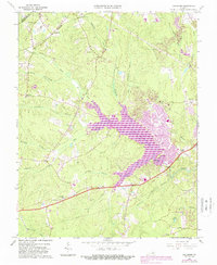
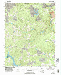
1963 Chesterfield
Chesterfield County, VA
1963 Hallsboro
Chesterfield County, VA
1963 Winterpock
Chesterfield County, VA
1964 Clayville
Chesterfield County, VA
1969 Drewrys Bluff
Chesterfield County, VA
1969 Hopewell
Chesterfield County, VA
1974 Beach
Chesterfield County, VA
1974 Drewrys Bluff
Chesterfield County, VA
1974 Hallsboro
Chesterfield County, VA
1974 Hopewell
Chesterfield County, VA
1979 Clayville
Chesterfield County, VA
1979 Winterpock
Chesterfield County, VA
1984 Petersburg
Chesterfield County, VA
1994 Beach
Chesterfield County, VA
1994 Hallsboro
Chesterfield County, VA
1994 Hopewell
Chesterfield County, VA
2022 Chesterfield
Chesterfield County, VA
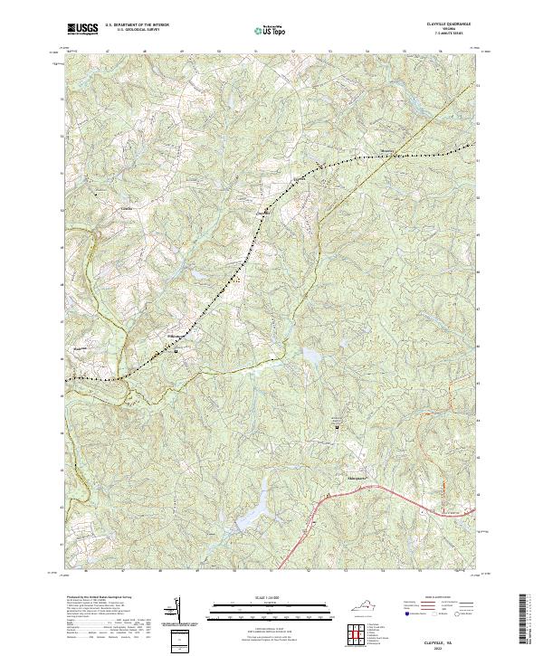
2022 Clayville
Chesterfield County, VA
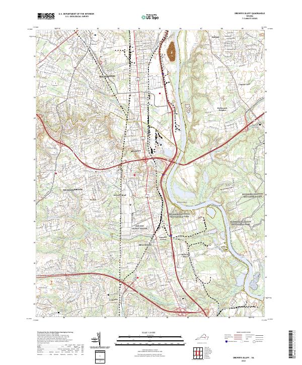
2022 Drewrys Bluff
Chesterfield County, VA
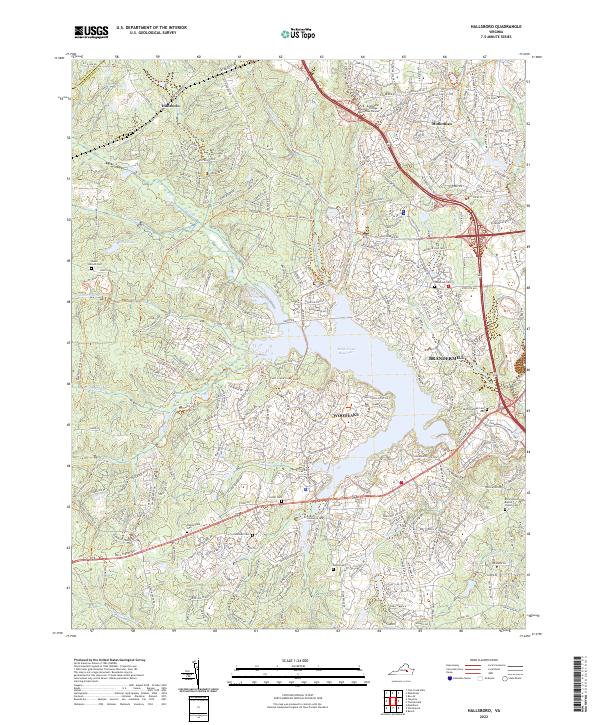
2022 Hallsboro
Chesterfield County, VA
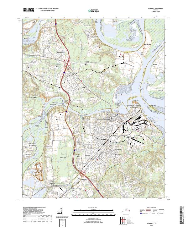
2022 Hopewell
Chesterfield County, VA
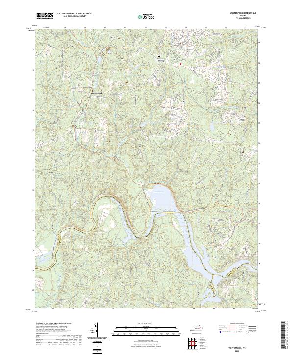
2022 Winterpock
Chesterfield County, VA
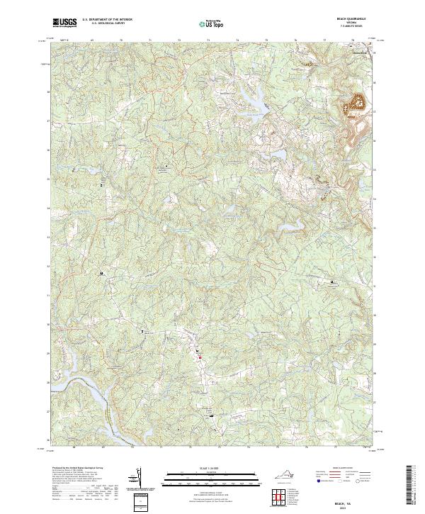
2023 Beach
Chesterfield County, VA