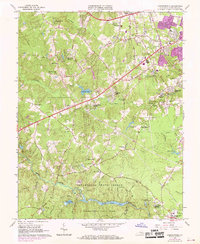
1963 Map of Chesterfield
USGS Topo · Published 1969About this map
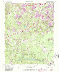
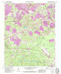
Pocahontas State Park and the adjacent Pocahontas State Forest dominate the southern landscape of this 1960s study, where Swift Creek and Swift Creek Lake form a central hydrological spine. The area shows significant mid-century suburban expansion, with new residential developments such as Penn Acres, Hylton Park, and Land O'Pines emerging alongside established institutions. Local education and community life are anchored by the Tomahawk Academy Sch and Hopewell Ch, while the presence of the State Prison Camp and the County Fairgrounds reflects the diverse land use in this part of Virginia. This period of transition is visible in the network of secondary roads like Hickory Road and Providence Road, which connect older landmarks like the Brown Cem and Elkhardt Ch to the growing community of Chesterfield.
Find a feature on this map
54 named features on this map. Tap any name to fly to it.
Don’t see what you’re looking for? This feature index may not catch every label — zoom into the map to look around manually.
Map Details
Editions of this 1963 Chesterfield Map
6 editions found
Other maps of this area

1890 · Goochland
USGS Topo · 1:125,000

1892 · Goochland
USGS Topo · 1:125,000

1894 · Bermuda Hundred
USGS Topo · 1:62,500

1894 · Richmond
USGS Topo · 1:62,500

1895 · Richmond
USGS Topo · 1:62,500

1897 · Amelia
USGS Topo · 1:125,000

1934 · Richmond
USGS Topo · 1:24,000

1936 · Richmond West
USGS Topo · 1:24,000

1938 · Drewrys Bluff
USGS Topo · 1:24,000

1939 · Richmond
USGS Topo · 1:31,680