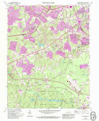
1963 Map of Chesterfield
USGS Topo · Published 1994About this map
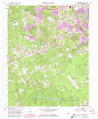
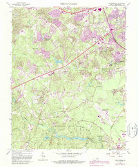
Pocahontas State Forest and the surrounding woodlands define the southern half of this map, where the waters of Swift Creek Lake and Third Branch Lake dominate the drainage system. This 1963 survey, revised in 1994, documents the transition of central Chesterfield County from a rural landscape toward suburban residential development. Purple-tinted urban extensions highlight the growth of neighborhoods like Lake Crystal Farms and Wilkinson Terrace along the corridor of Hull Street Road. The map provides a detailed view of the local social fabric through its numerous country churches and schools, such as Mt Gilead Ch and the Tomahawk Academy Sch. Infrastructure developments of the era are clearly marked, including the expansion of the Chesterfield County Airport and the presence of the State Prison Camp near the confluence of Swift Creek and Reedy Creek.
Find a feature on this map
64 named features on this map. Tap any name to fly to it.
Don’t see what you’re looking for? This feature index may not catch every label — zoom into the map to look around manually.
Map Details
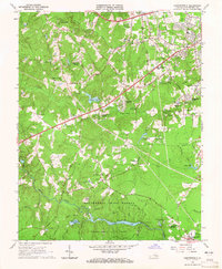
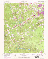
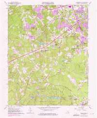
Editions of this 1963 Chesterfield Map
6 editions found
Other maps of this area

1890 · Goochland
USGS Topo · 1:125,000

1892 · Goochland
USGS Topo · 1:125,000

1894 · Bermuda Hundred
USGS Topo · 1:62,500

1894 · Richmond
USGS Topo · 1:62,500

1895 · Richmond
USGS Topo · 1:62,500

1897 · Amelia
USGS Topo · 1:125,000

1934 · Richmond
USGS Topo · 1:24,000

1936 · Richmond West
USGS Topo · 1:24,000

1938 · Drewrys Bluff
USGS Topo · 1:24,000

1939 · Richmond
USGS Topo · 1:31,680