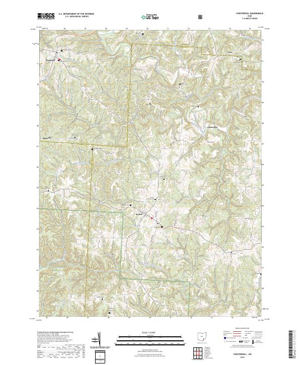
1994 Map of Chesterhill
USGS Topo · Published 1998About this map
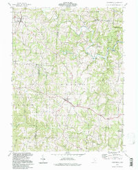
Chesterhill anchors this part of southeast Ohio, where the borders of Morgan, Washington, and Athens counties converge. The landscape is defined by the winding course of Wolf Creek and its many tributaries, including Shrader Run and Buckeye Run. To the south, the terrain transitions into the protected woodlands of the Wayne National Forest and the Boord State Nature Preserve, highlighting a shift from rural settlement to conserved wilderness near the Little Hocking River.
Find a feature on this map
40 named features on this map. Tap any name to fly to it.
Don’t see what you’re looking for? This feature index may not catch every label — zoom into the map to look around manually.
Map Details
Editions of this 1994 Chesterhill Map
This is the sole edition of this map. No revisions or reprints were ever made.
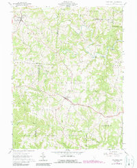
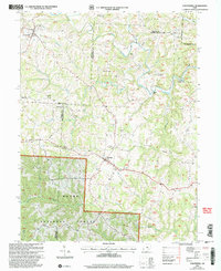
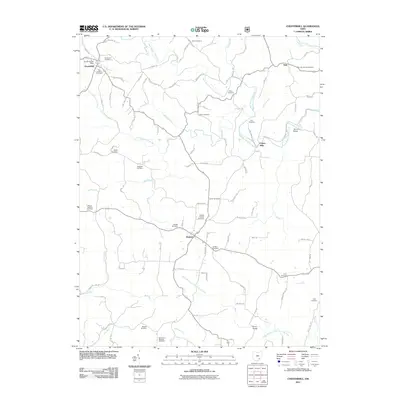
Historical Maps of Chesterhill Through Time
10 maps found

1904 Chesterhill
Morgan County, OH

1906 Chesterhill
Morgan County, OH
1961 Chesterhill
Morgan County, OH
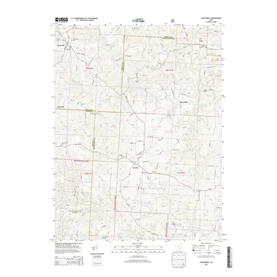
1994 Chesterhill
Morgan County, OH
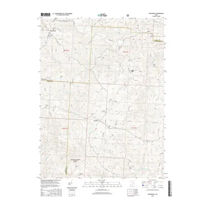
2002 Chesterhill
Morgan County, OH
2011 Chesterhill
Morgan County, OH
2013 Chesterhill
Morgan County, OH
2016 Chesterhill
Morgan County, OH
2019 Chesterhill
Morgan County, OH
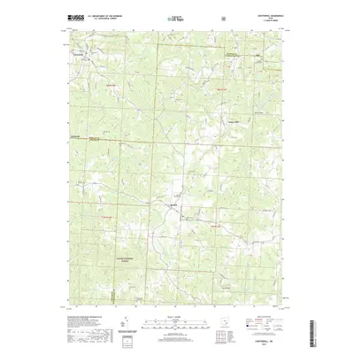
2023 Chesterhill
Morgan County, OH