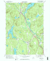
1968 Map of Chestertown
USGS Topo · Published 1970About this map
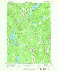
The Adirondack State Park forms the dramatic backdrop for this late-1960s survey of Warren County, where the Schroon River and its major lakes dictate the region's development. Local centers like Chestertown and Pottersville are shown in detail, including civic infrastructure such as the Central Sch and various gravel pits supporting local industry. The map captures a transition in Adirondack tourism and transportation, documenting the modern Interstate system with Interchange 26 and Interchange 25, while preserving older landmarks like the Drive-in Theater and the Natural Stone Bridge. For genealogists and local historians, several burial sites are recorded, including Underwood Cem near Valentine Pond and the Starbuckville Cem along the river. The settlement patterns follow the winding path of the river and the shores of Loon Lake and Brant Lake, illustrating how the waterway remained the primary axis of life in the southern Adirondacks.
Find a feature on this map
64 named features on this map. Tap any name to fly to it.
Don’t see what you’re looking for? This feature index may not catch every label — zoom into the map to look around manually.
Map Details
Editions of this 1968 Chestertown Map
2 editions found
Other maps of this area

1895 · North Creek
USGS Topo · 1:62,500

1895 · Paradox Lake
USGS Topo · 1:62,500

1897 · Bolton
USGS Topo · 1:62,500

1897 · Paradox Lake
USGS Topo · 1:62,500

1897 · North Creek
USGS Topo · 1:62,500

1897 · Schroon Lake
USGS Topo · 1:62,500

1900 · Bolton
USGS Topo · 1:62,500

1950 · Glens Falls
USGS Topo · 1:250,000
1953 · Paradox Lake
USGS Topo · 1:62,500

1953 · Schroon Lake
USGS Topo · 1:62,500