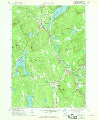
1968 Map of Chestertown
USGS Topo · Published 1970About this map
The southern Adirondacks are defined here by a dense network of mountain lakes and the winding course of the Schroon River. Centered on the town of Chestertown, the area reflects a mid-century period of transition where traditional timber and agricultural landscapes met the growing demands of modern tourism. Major corridors like the Adirondack Northway are documented at Interchange 26 and Interchange 25, which provided new access to established destinations like the Drive-in Theater near Pottersville and the Natural Stone Bridge at Trout Brook.
Find a feature on this map
59 named features on this map. Tap any name to fly to it.
Don’t see what you’re looking for? This feature index may not catch every label — zoom into the map to look around manually.
Map Details
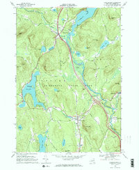
Editions of this 1968 Chestertown Map
2 editions found
Other maps of this area

1895 · North Creek
USGS Topo · 1:62,500

1895 · Paradox Lake
USGS Topo · 1:62,500

1897 · Bolton
USGS Topo · 1:62,500

1897 · Paradox Lake
USGS Topo · 1:62,500

1897 · North Creek
USGS Topo · 1:62,500

1897 · Schroon Lake
USGS Topo · 1:62,500

1900 · Bolton
USGS Topo · 1:62,500

1950 · Glens Falls
USGS Topo · 1:250,000
1953 · Paradox Lake
USGS Topo · 1:62,500

1953 · Schroon Lake
USGS Topo · 1:62,500