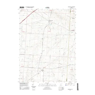
2016 Map of Chesterville
USGS Topo · Published 2016About this map
Chesterville and Sparta anchor this survey of south-central Morrow County, where the headwaters of the Kokosing River and its numerous tributaries like Sylvester Run and Mile Run carve a rolling agricultural landscape. The map reveals a high density of rural burial grounds and places of worship, including Maple Grove Cem, Chester Baptist Cem, and the Salem Methodist Episcopal Cem near the Knox County border.
Find a feature on this map
114 named features on this map. Tap any name to fly to it.
Don’t see what you’re looking for? This feature index may not catch every label — zoom into the map to look around manually.
Map Details
Editions of this 2016 Chesterville Map
This is the sole edition of this map. No revisions or reprints were ever made.
Other maps of this area

1913 · Mount Gilead
USGS Topo · 1:62,500

1915 · Shauck
USGS Topo · 1:62,500

1915 · Marengo
USGS Topo · 1:62,500

1915 · Fredericktown
USGS Topo · 1:62,500

1916 · Mount Gilead
USGS Topo · 1:62,500

1943 · Shauck
USGS Topo · 1:62,500

1943 · Marengo
USGS Topo · 1:62,500

1943 · Mount Gilead
USGS Topo · 1:62,500

1943 · Fredericktown
USGS Topo · 1:62,500

1950 · Marion
USGS Topo · 1:250,000