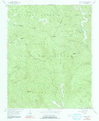
1956 Map of Chestnut Mountain
USGS Topo · Published 1991About this map
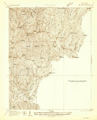
Pisgah National Forest defines the topography of this mid-century survey, where the convergence of Avery, Burke, and Caldwell counties occurs amidst a network of high ridges and narrow creek bottoms. The small settlement of Mortimer sits near the confluence of Wilson Creek and Thorps Creek in the northeast, while Kawana is tucked along Creek to the west. Evidence of forest management and local travel is visible through landmarks like the Lookout Tower on Chestnut Mtn and the passage through Licklog Gap. The landscape is etched with local history, from a secluded Cem near Kawana to the descriptively named Lettered Rock Ridge and Winding Stair Knob. These family-named peaks and watercourses, such as Bandy Cove Mtn and Gingercake Creek, reflect a persistent pattern of rural mountain life and land use that predates the modern era.
Find a feature on this map
49 named features on this map. Tap any name to fly to it.
Don’t see what you’re looking for? This feature index may not catch every label — zoom into the map to look around manually.
Map Details
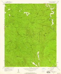
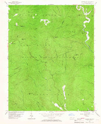
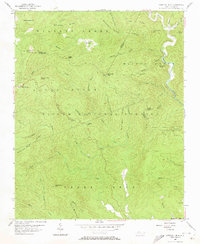
Editions of this 1956 Chestnut Mountain Map
4 editions found
Other maps of this area

1893 · Cranberry
USGS Topo · 1:125,000

1895 · Cranberry
USGS Topo · 1:125,000

1899 · Cranberry
USGS Topo · 1:125,000

1902 · Cranberry
USGS Topo · 1:125,000

1905 · Morganton
USGS Topo · 1:125,000

1934 · Linville Falls
USGS Topo · 1:24,000
1934 · Newland
USGS Topo · 1:24,000

1936 · Blowing Rock
USGS Topo · 1:48,000
1942 · Blowing Rock
USGS Topo · 1:62,500
1944 · Linville
USGS Topo · 1:62,500