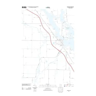
2013 Map of Chetek
USGS Topo · Published 2013About this map
Chetek serves as the focal point for this Barron County landscape, where the town's street grid meets the shores of Lake Chetek. The surrounding geography is defined by a complex chain of lakes, including Prairie Lake, Tenmile Lake, and Bailey Lake, linked by the winding courses of the Chetek River and the Red Cedar River. This 2013 survey illustrates the local transport and recreation network, featuring the Stardust Drive-In Theatre and numerous water-dependent landmarks such as Pittmans Point and The Narrows. The map provides a clear look at the area's development, showing how residential streets like Dallas St and Schofield St transition into the rural section-line roads of the Wisconsin countryside. Local history researchers will find the precise mapping of small tributaries like Tenmile Cr and Sioux Cr particularly useful for identifying ancestral property boundaries and historical land use along the riverbanks.
Find a feature on this map
49 named features on this map. Tap any name to fly to it.
Don’t see what you’re looking for? This feature index may not catch every label — zoom into the map to look around manually.
Map Details
Editions of this 2013 Chetek Map
This is the sole edition of this map. No revisions or reprints were ever made.
Other maps of this area

1949 · New Auburn
USGS Topo · 1:62,500

1949 · Ridgeland
USGS Topo · 1:62,500

1951 · Ridgeland
USGS Topo · 1:62,500

1951 · New Auburn
USGS Topo · 1:62,500

1951 · Chetek
USGS Topo · 1:62,500

1951 · Barron
USGS Topo · 1:62,500

1953 · Rice Lake
USGS Topo · 1:250,000

1959 · Rice Lake
USGS Topo · 1:250,000
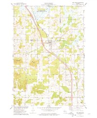
1975 · New Auburn
USGS Topo · 1:24,000
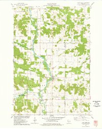
1975 · Sand Creek
USGS Topo · 1:24,000