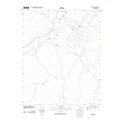
2010 Map of Chewey
USGS Topo · Published 2010About this map
The Illinois River cuts through the northeast corner of Adair County, creating a landscape defined by prominent river bluffs and deep, named hollows. In this 2010 survey, the terrain transitions from the high ground of Pumpkin Flats in the south to the sharp drop-offs at Hogshooter Bluff and Pine Bluff overlooking the river valley. The map documents the intricate network of local roads that follow these natural contours, including Chewey Rd and Kirk Springs Hollow Rd, providing access to the more isolated pockets of the Ozark foothills.
Find a feature on this map
41 named features on this map. Tap any name to fly to it.
Don’t see what you’re looking for? This feature index may not catch every label — zoom into the map to look around manually.
Map Details
Editions of this 2010 Chewey Map
This is the sole edition of this map. No revisions or reprints were ever made.
Other maps of this area

1898 · Tahlequah
USGS Topo · 1:125,000

1899 · Siloam Springs
USGS Topo · 1:125,000

1901 · Tahlequah
USGS Topo · 1:125,000

1903 · Siloam Springs
USGS Topo · 1:125,000

1904 · Siloam Springs
USGS Topo · 1:125,000

1905 · Tahlequah
USGS Topo · 1:125,000

1946 · Fort Smith
USGS Topo · 1:250,000

1954 · Tulsa
USGS Topo · 1:250,000

1958 · Tulsa
USGS Topo · 1:250,000

1963 · Tulsa
USGS Topo · 1:250,000