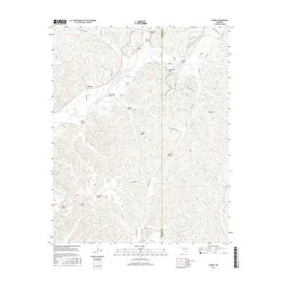
2016 Map of Chewey
USGS Topo · Published 2016About this map
The Illinois River carves a deep valley through the Ozark plateau along the border of Cherokee and Adair counties in this 2016 survey. This landscape is defined by its numerous named drainages and high points, including Hogshooter Bluff and Pine Bluff. The small community of Chewey serves as a primary reference point in the east, while Scraper sits near the river's bend in the west. Genealogists can identify localized family and community heritage at Chewey Cem and the Thompson Cem. The map illustrates a transition from river-bottom land to the high, flat plateaus of Pumpkin Flat and Pumpkin Flats in the south. Transportation is marked by crossings like Hampton Bridge and a network of ridge roads, such as Chief Keeler Ridge Rd and Hampton Ridge Rd, which follow the natural contours of the steep hollows like Sawmill Hollow and Peavine Hollow.
Find a feature on this map
59 named features on this map. Tap any name to fly to it.
Don’t see what you’re looking for? This feature index may not catch every label — zoom into the map to look around manually.
Map Details
Editions of this 2016 Chewey Map
This is the sole edition of this map. No revisions or reprints were ever made.
Other maps of this area

1898 · Tahlequah
USGS Topo · 1:125,000

1899 · Siloam Springs
USGS Topo · 1:125,000

1901 · Tahlequah
USGS Topo · 1:125,000

1903 · Siloam Springs
USGS Topo · 1:125,000

1904 · Siloam Springs
USGS Topo · 1:125,000

1905 · Tahlequah
USGS Topo · 1:125,000

1946 · Fort Smith
USGS Topo · 1:250,000

1954 · Tulsa
USGS Topo · 1:250,000

1958 · Tulsa
USGS Topo · 1:250,000

1963 · Tulsa
USGS Topo · 1:250,000